Description
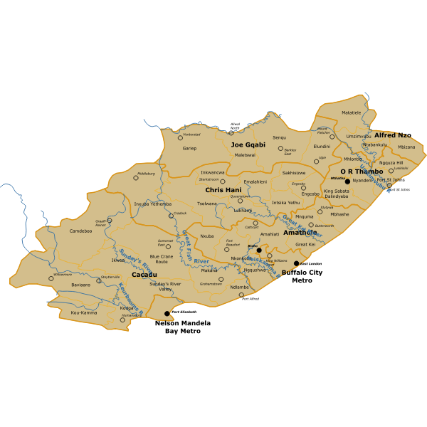
Eastern Cape map in Hartebeeshoek 94 projection with 2011 Local and District Municipal Boundaries, Rivers and text.
SVG ID
93330
Size
0.71 MB
No. of downloads:
149
Date:
06/11/2019
License:
Public Domain
SVG published by:
OpenClipart