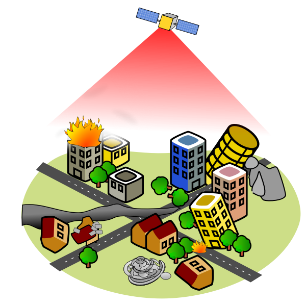
Disaster remote sensing
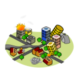
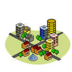
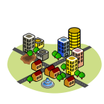
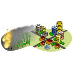
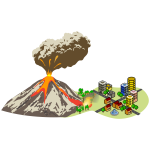
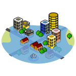
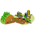
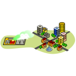
Example of satellite monitoring of a city after earthquake.
Public Domain (CC0) · free for commercial use, no attribution required.
Related Tags
Specs
- SVG ID
- 82709
- Format
- SVG, PNG
- License
- Public Domain

Example of satellite monitoring of a city after earthquake.
Public Domain (CC0) · free for commercial use, no attribution required.